Trail Name: Old Road Trail
Evaluators and Devices Used: Charles (Jim) Foxx and Terry Foxx using Drive Medical RTL10266 Nitro Euro Style Rollator Walker, Standard Height, 10-inch wheels, 23 inches wide at the base.
Date & Time Evaluated: May 1, 2021
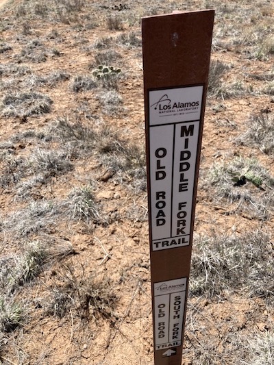
Location: Located off of State Road 4 at Gate 2. This trail is on Los Alamos National Laboratory’s property and is maintained by the Lab, but it is open for public use. More information about Old Road Trail can be found on the Lab’s website. To help you find this trail, we have also marked Old Road Trail on this map by LANL.
Trail Length: 1.5-miles roundtrip with 180 feet of elevation change.
Length Evaluated: 1-mile roundtrip, with effort.
Other Equipment Used: Steps App to measure walking distance, Tape Measure App to measure trail width.
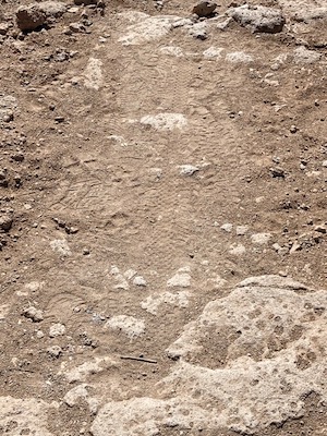
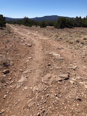
Trail Surface: Packed dirt with rocks.
Trail Slope:
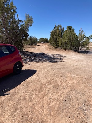
Parking: Dirt pullout area off of State Road 4. There is a gate between the parking area and trail, which has about a 3-foot wide passage.
Restrooms: None
Ramps: None
Steps: None
Benches: None
Shade: None, very exposed
Railings: None
Traffic Level: Fairly quiet. The trails off of State Road 4 can get busy on weekends.
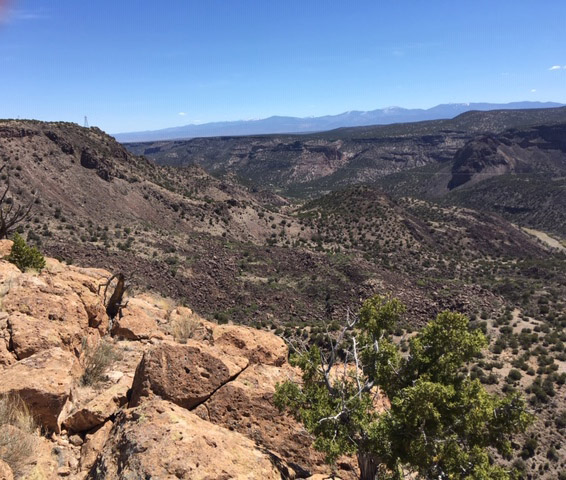
Ecosystem: Piñon-juniper woodland.
Comments by Terry Foxx:
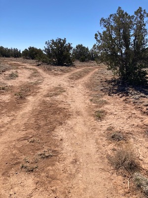
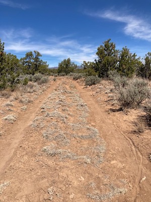
This trail was previously an old road and has wheel tracks from its former use. It intersects with a spur of the Powerline Trail approximately 0.5 miles from the start. The trail is primarily a foot trail and, because of the rockiness, walking poles could be helpful. We encountered one person on a bicycle.
This trail was difficult for me to navigate with my Rollator walker and I would not recommend it for someone with more limited abilities because the Rollator had to be lifted over some rocks. I stopped a powerline that intersected the trail after about 0.5 miles.
The trail is intermittently very rocky. Occasionally the Rollator would get stuck on rocks, but the trail was marginally doable for me up to the powerline junction. Rocky areas were interspersed with packed soil, which I easily transverse. However, sections with the car wheel tracks were much more difficult because the tracks were only about 17 inches wide. My Rollator is 23 inches wide. This meant the Rollator wheels got tangled in the grass or one wheel needed to be rolling in the grass and the other in the tract making the Rollator list considerably.
My husband continued, on foot, to the end of the Middle Fork to view White Rock Canyon. He said the trail got extremely rocky near the end. I found waiting (perching) allowed me to see a Western Bluebird and Common Raven, a beautiful sky, and other nice aspects of nature. However, there is no shade along this trail.
Additional Photos: